

Geoconsultancy & Geosolutions
EPCIC · IRM · Offshore Survey & Positioning
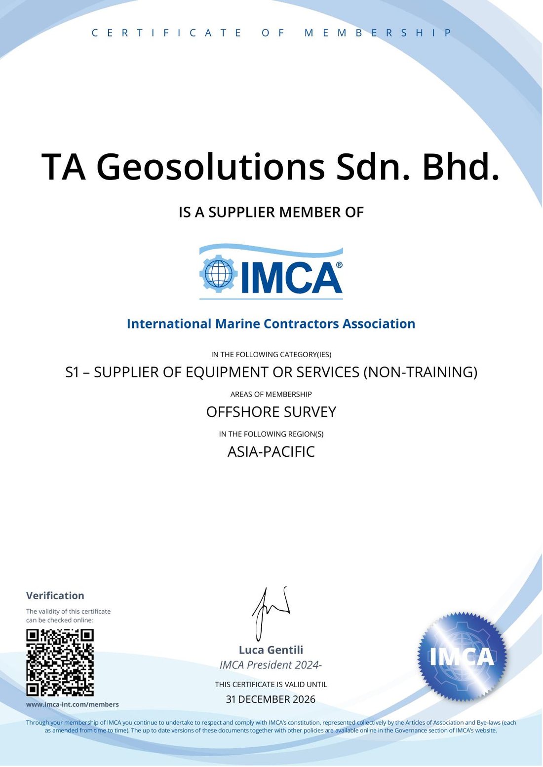
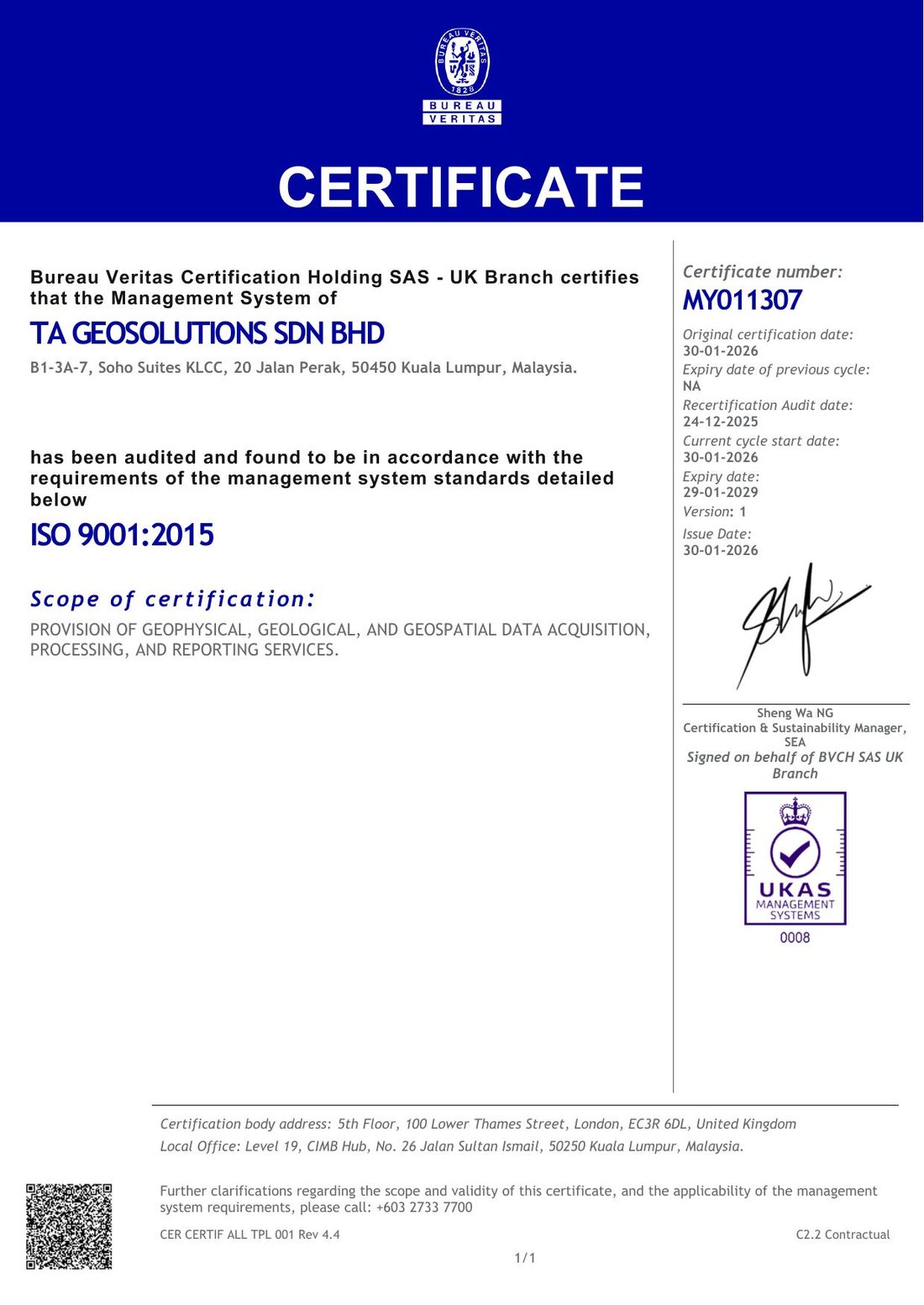
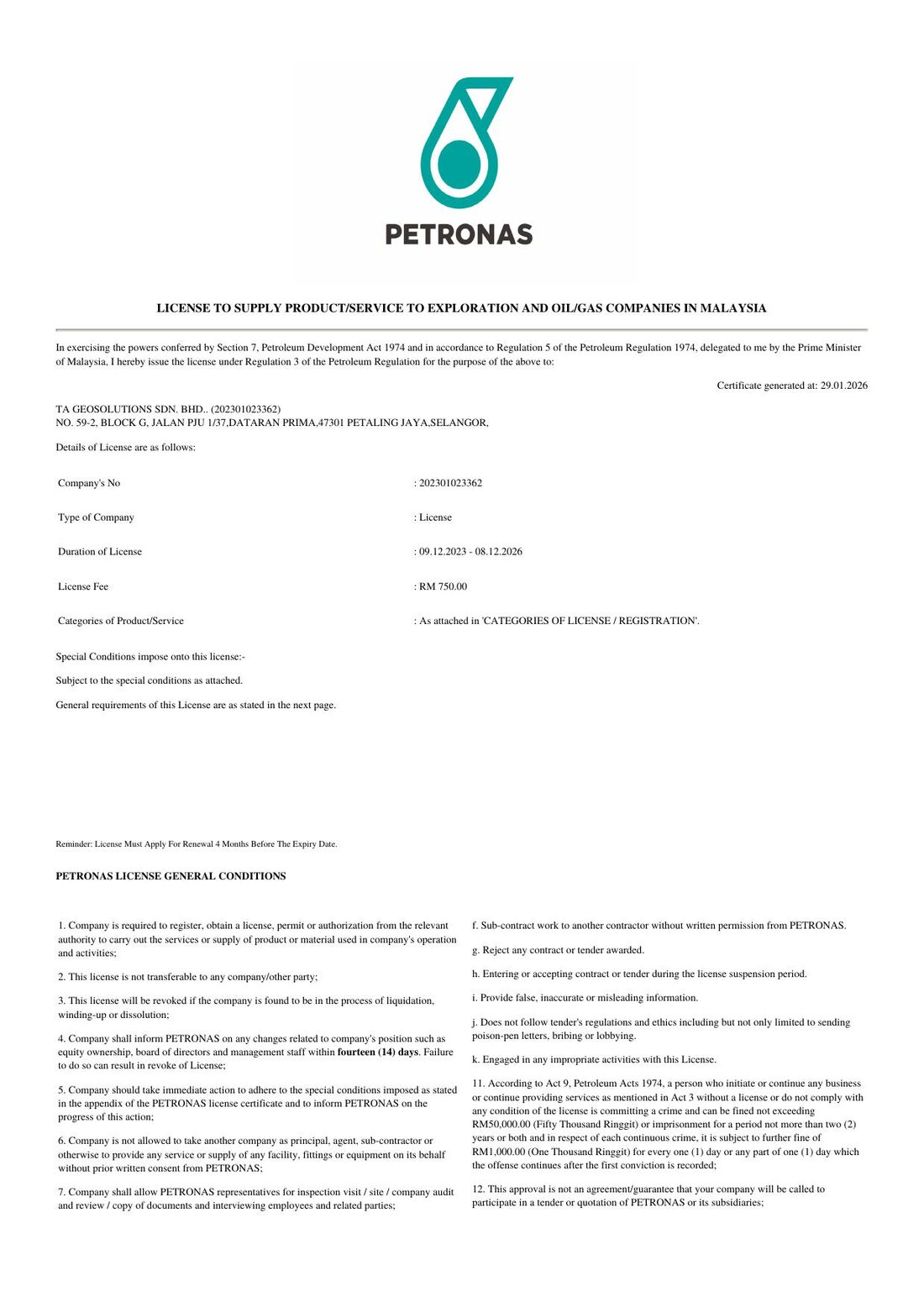
Licensed and certified offshore geophysical survey, positioning and subsea services across South East Asia. Either manned or unmanned, we map and position what others cannot see from shallow to deepwater, and prove it to survey grade.
Who we work with















Top: contracting clients · Bottom: end users on those scopes
What we do
We support operators and contractors across the full project lifecycle, selecting the most cost-optimised method, manned or unmanned, meeting IMCA & the end-user's survey requirements, with 100% remote QC and reporting.
Hydrographic and bathymetric survey, pre and post-installation geophysical work, data QC and charting.
IRM support from 7m to 1250m water depth to date, across As-Built, saturation dive and air dive support, covering surface and underwater positioning via USBL / SSBL. We are currently the PanMalaysia Subsea IRM exclusive Survey Contractor for Sabah region.
Transportation and installation support across single to multi vessel operations, barge and tug positioning, subsea SSBL/LBL operations, metrology and as-built mapping of flowlines, cables and mattresses.
100% remote quality control, data interpretation and reporting, including long-term remote integrity monitoring with real-time alerts to shore.
Track record
A focused, recent track record across Malaysia, Brunei and Thailand for national and international operators and their main contractors, delivered at 100% on-time and 99.998% operational uptime.
Exclusive Survey & Positioning contractor for PanMalaysia Subsea IRM Sabah region covering shallow and deepwater operations.
Repeatable sub-metre subsea accuracy at 1200m-plus water depth for deepwater anchor chain and suction pile inspection.
Installation at Kasawari Field and yearly cable repair, trenching, mattress installation at Angsi at 100% uptime.
Operate and maintain a survey-grade autonomous USV, plus a USV certification programme for Maritime Department officers.
End-to-end geosolutions for flexible flowline pre-lay, installation, as-built, positioning concrete mattresses with WROV and air divers at <10m high turbidity, high current waters. 100% uptime and Zero LTI.
End-to-end geophysical and positioning for a first-in-country seismic diffraction (SDAS) deployment. Operated live remote-reporting as cable lay vessel was trailing survey vessel.
Unmanned & remote operations
We lead the first Malaysian fully autonomous Over-The-Horizon USV (full geophysical payloads PoC) mid-2025 in collaboration with Malaysian Maritime Department and are gearing up for operationalizing IHO grade surveys across Malaysia, Thailand and Brunei.
Technology partners: OceanAlpha
The unmanned story & milestones →Credentials & standing
Start a conversation
Whether you are scoping your next project, require geoconsultancy advice on your field, planning a T&I or IRM campaign, we're open to have an initial discussion with you.